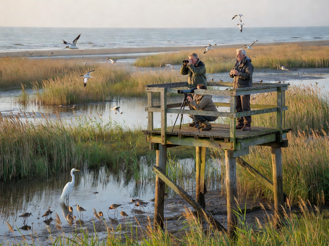
A useful bird route is more than a line on a map. It is a combination of habitat, viewing direction, walking surface, shelter, daylight and a safe return. Cliffs, estuaries, dunes, salt marshes, lagoons, harbours and shoreline paths each reward different observation methods. Compare the route’s physical demands before considering its wildlife potential.
Cliffs and headlands
Cliff routes create broad views over sea and rock faces. They can be productive for soaring birds and distant seabirds, but wind is often strong and edges may be unstable. Look for maintained paths, barriers, set-back viewpoints and alternative inland sections. Never leave a permitted route to reach a better angle. A route with several safe viewpoints is more useful than a dramatic but exposed edge.
Estuaries and wetlands
Estuaries combine mud, sand, freshwater influence and changing channels. Waders and other waterbirds may use feeding margins, while reedbeds and wet grassland provide cover. Choose a route with clear sightlines and an observation point above the floodplain. Mud can be difficult after rain. Tide movement may alter access to banks and crossings. Use official tide and access information rather than estimating the return window.
Dunes and salt marshes
Dune paths can offer shelter behind ridges, but loose sand increases effort and may be unsuitable for some mobility aids. Salt marsh routes can be level while remaining exposed, wet or muddy. Stay on marked paths because vegetation and nesting areas are easily damaged. Avoid flushing birds repeatedly from feeding or resting areas. Low noise and slow movement improve both observation and habitat protection.
Lagoons and harbours
Lagoons provide sheltered water and often have fixed hides or platforms. Check whether viewing structures are open, accessible and large enough for your group before travel. Harbours can offer close views of common coastal birds, but working areas contain vehicles, ropes, steps and restricted zones. Keep clear of operational space. A harbour is not automatically a public wildlife site.
Route assessment
Record the official route length, surface, gradient, steps, gates, toilets, seating and emergency access where published. Consider how long the route remains exposed to wind. Note whether the return uses the same path or depends on a tide-sensitive crossing. Visibility can be reduced by rain, sea spray, heat shimmer or glare. Carry binoculars, but do not allow equipment to slow a group on a narrow path.
Season and accessibility
Migration periods can increase variety, while breeding periods can require closures and greater distance. Winter offers shorter daylight and difficult weather. Summer may provide easier walking but stronger visitor pressure and glare. Accessibility is route-specific. A level path can still have loose gravel, narrow gates or no shelter. Check current local information, then choose a route that remains safe if sightings are limited.
Leave no food, litter or marked disturbance. Keep dogs controlled where required. Do not use playback near nesting birds. Respect signs, barriers and seasonal restrictions.